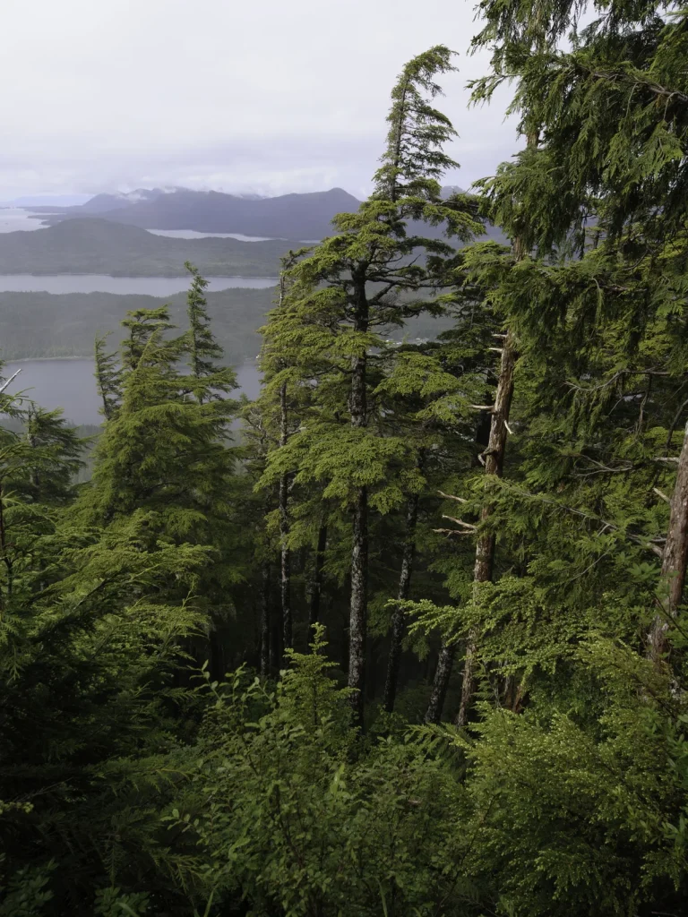
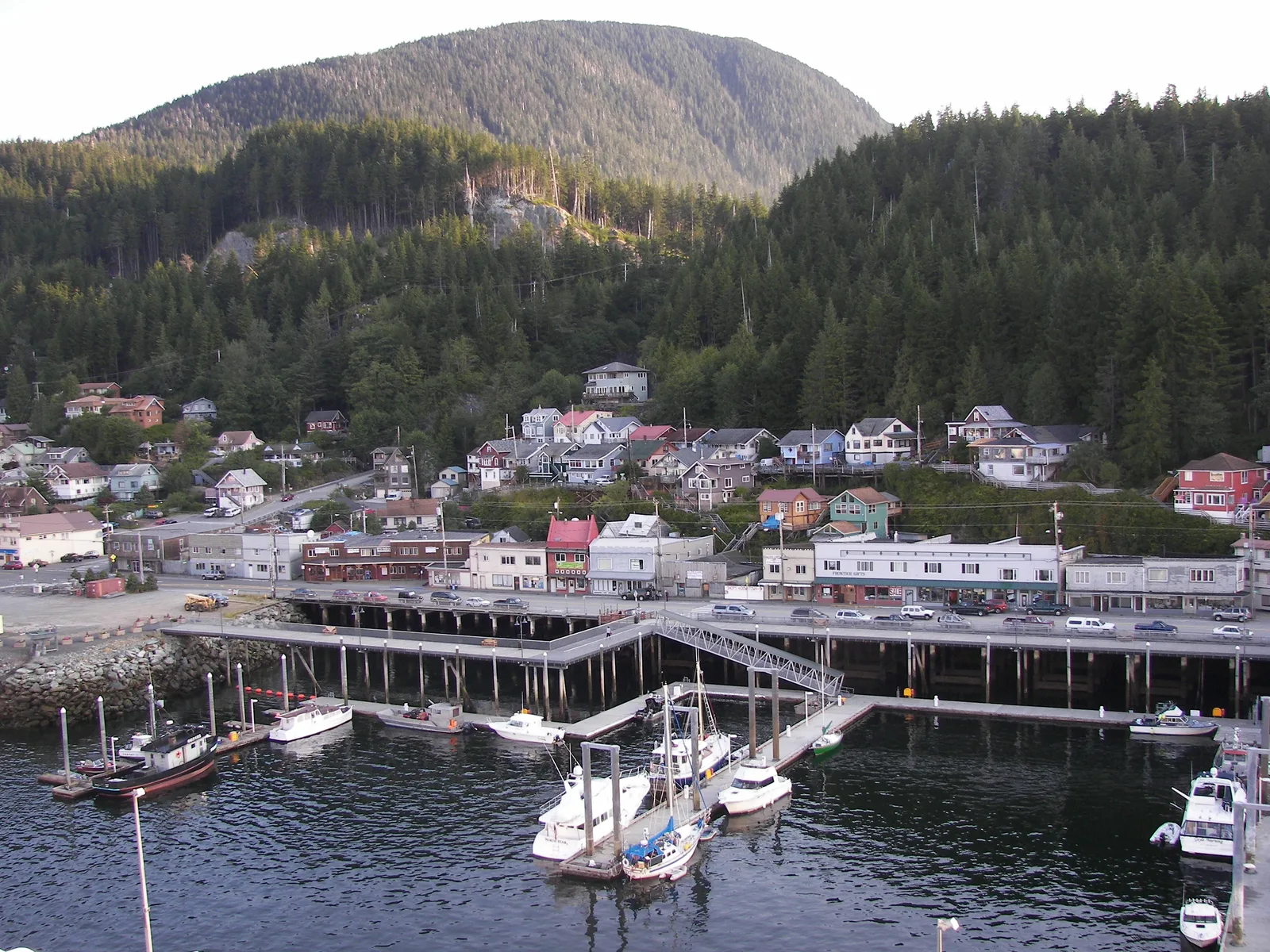
Ketchikan’s waterfront is both a visual edge and an active system. A thoughtful walk pays attention to public access, working movement, historic layers, and the communities whose lives cannot be reduced to a visitor-facing facade.
Read function before style
Begin by asking what a structure does. Ramps, rails, pilings, loading areas, sheds, and moorings reveal how water access organizes the town. Observe from signed public space and keep work paths clear.
Add neighborhood history through responsible sources
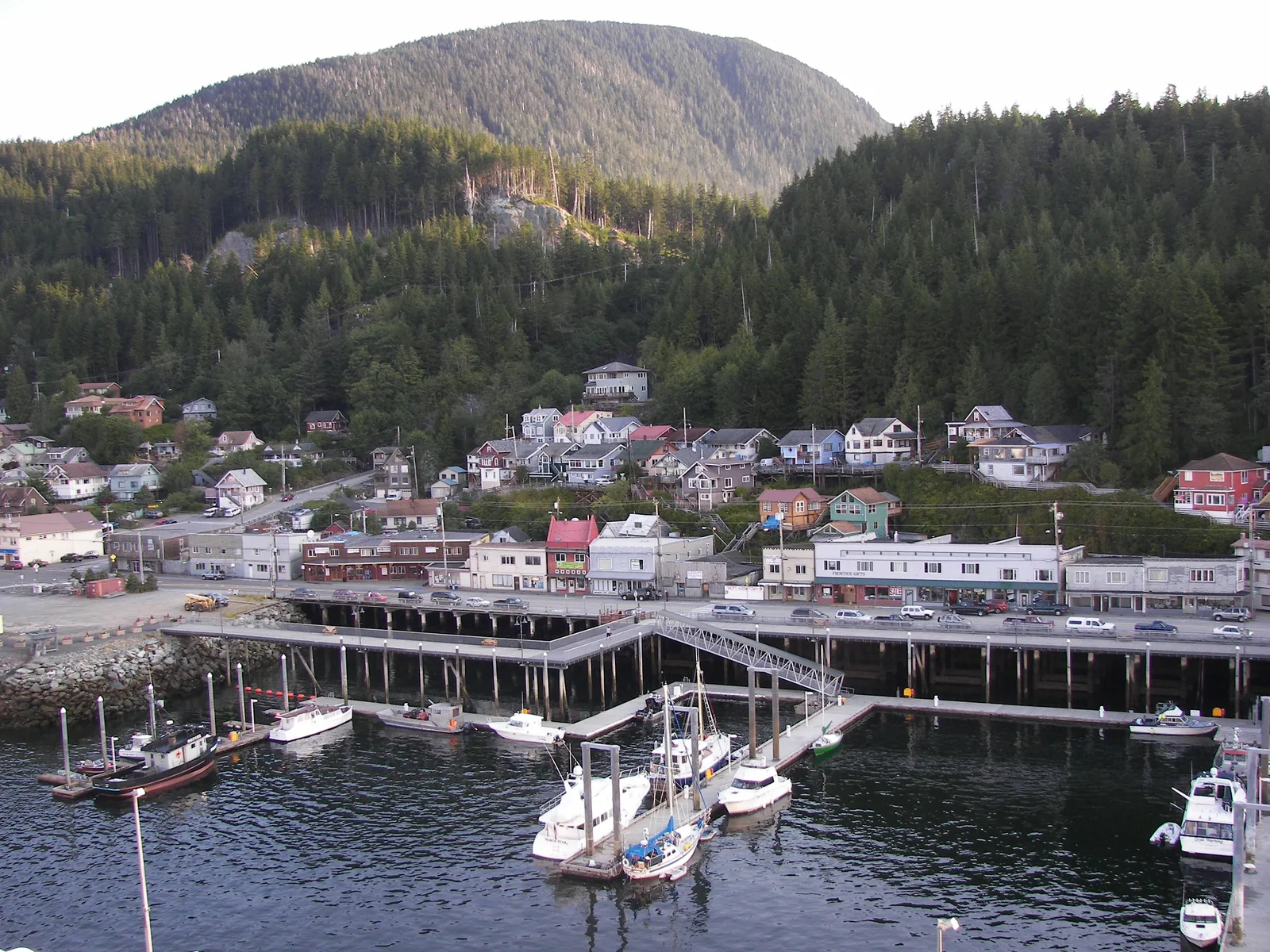
Stedman-Thomas holds layered histories, including the lives and businesses of diverse residents. Seek current interpretation from local museums, historic resources, and community-led organizations. Avoid turning a district into a costume or using a single object to stand in for a whole community.
Good questions for a self-guided walk
- Which routes were shaped by water access?
- Where does the grade change how buildings meet the street?
- Which stories are being told by a responsible local source?
- What is still an ordinary home or workplace rather than a visitor site?
Pair food with context, not a ranking
Food businesses, menus, and availability change. Instead of relying on a timeless “best” list, decide what kind of stop fits the route, then verify current details directly. Ask businesses about accessibility and dietary needs rather than inferring them from a photo or old review.
Notice how buildings meet wet ground
The most informative architectural details are often practical. Look for the point where a boardwalk changes to a solid street, how a doorway meets grade, where roof water is directed, and how a structure leaves room for working access. These observations connect design to climate without requiring entry into private space.
A single block can support a useful comparison:
- Identify the public walking surface.
- Find the water-management detail closest to it.
- Notice which edge is for people and which is for work.
- Look uphill to see how the next level connects.
- Return the same way if the continuation is unclear.
Use museums and historic resources as context anchors
Interpretive sources can explain a building or district more responsibly than surface observation alone. Choose sources that identify authorship, community role, and the limits of their collection. Confirm current visitor details directly, and give community-led cultural organizations authority over their own stories.
Historical labels can reflect the period in which they were written. Read for whose voice is present, whose is absent, and whether newer interpretation adds context. An independent travel guide should point toward responsible learning rather than compressing layered history into a catchy caption.
Make a route record without intruding
| Record | Useful detail | Boundary |
|---|---|---|
| Public route | Surface, grade, and connection | Do not cross gates or working areas |
| Building edge | How structure meets water or slope | Do not enter private thresholds |
| Community context | Credited institution or source | Do not detach cultural material from authority |
| Food stop | Current information from the business | Do not publish assumed needs or availability |
Close the loop at the water
Return to a clear view of Tongass Narrows and notice how your understanding changed. Continue with the tide-to-canopy guide or browse Food & Culture for future community-context reporting.