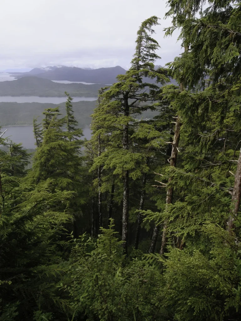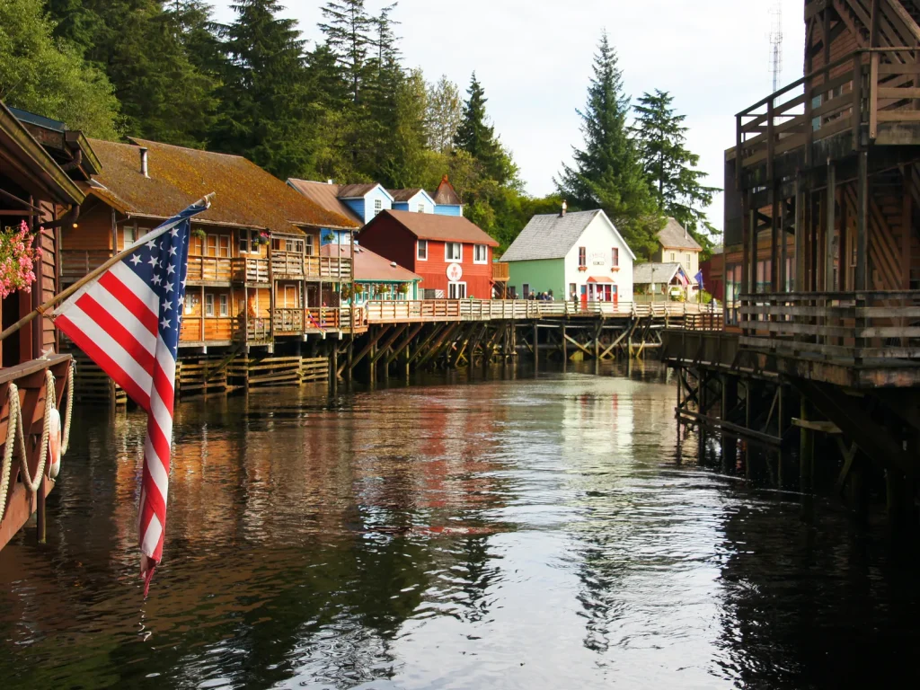
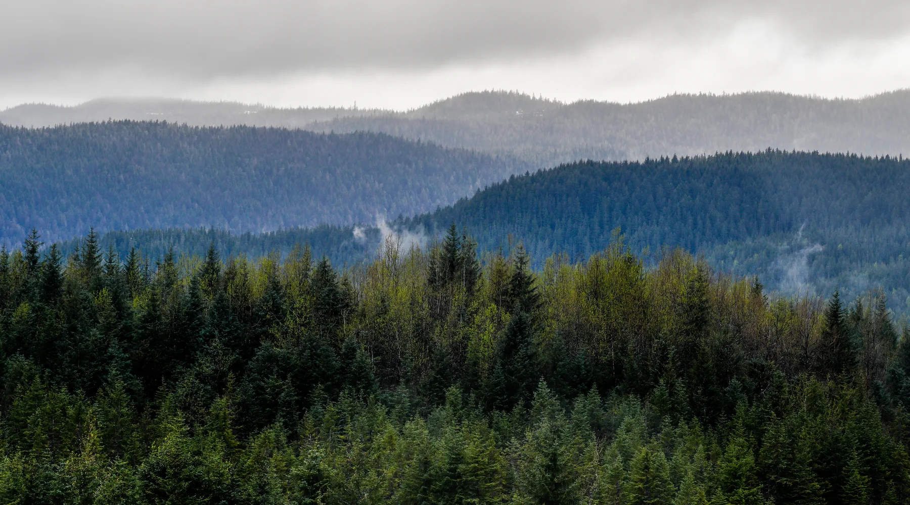
The Tongass rewards attention more than accumulation. A short, appropriate forest route can show canopy, understory, water movement, and renewal without requiring a collection of named viewpoints. Access, surface, wildlife guidance, and seasonal conditions must be confirmed with the responsible land manager.
Choose the scale first
Decide whether you want a town-edge forest encounter, a road-system outing, or a provider-supported remote experience. These are different commitments. Do not let a dramatic image collapse the transport and access decisions between them.
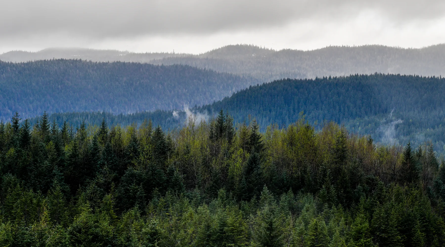
Notice four connected systems
- Water: identify where rain moves and gathers.
- Wood: notice standing trees, fallen material, and new growth without disturbing them.
- Light: compare the canopy opening with the understory.
- Habitat: give animals space and follow current food-storage and trail guidance.
Read water before choosing a surface
Rainwater reveals the terrain. It gathers in depressions, crosses paths, feeds streams, and changes the grip of roots, rock, wood, and constructed surfaces. A route that looked simple in a dry photograph may require a different decision under current conditions.
Do not test moving water, unstable edges, or an uncertain crossing merely because another person proceeded. Use current land-manager information and your own group’s capabilities. If the safe route is not obvious, retreat to the last confirmed point.
Keep wildlife encounters unforced
Wildlife presence is never guaranteed and should not be engineered with food, calls, crowding, or blocked movement. Observe from a distance that does not alter the animal’s behavior. If an animal changes direction, stops feeding, becomes vigilant, or otherwise responds to people, more space may be needed.
- Follow current food-storage and waste rules.
- Keep pets under the control required for that location.
- Do not surround an animal or compete for a closer frame.
- Use a responsible source for species-specific safety guidance.
Understand remote scale before booking it
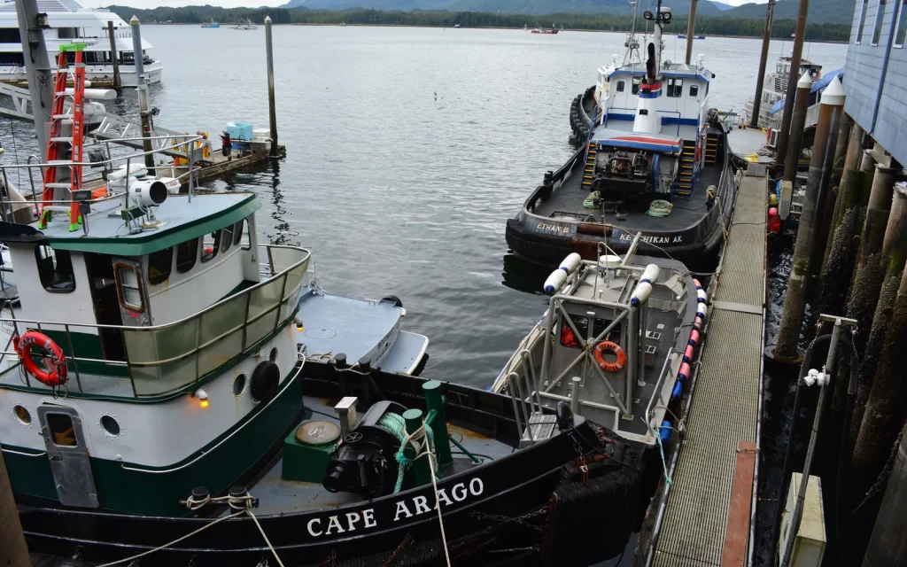
A marine or flight-supported Tongass experience involves a provider, a meeting point, condition-dependent operations, and a return. Treat those as part of the experience rather than administrative details. Read the current provider description and restrictions, ask direct questions, and preserve the confirmation.
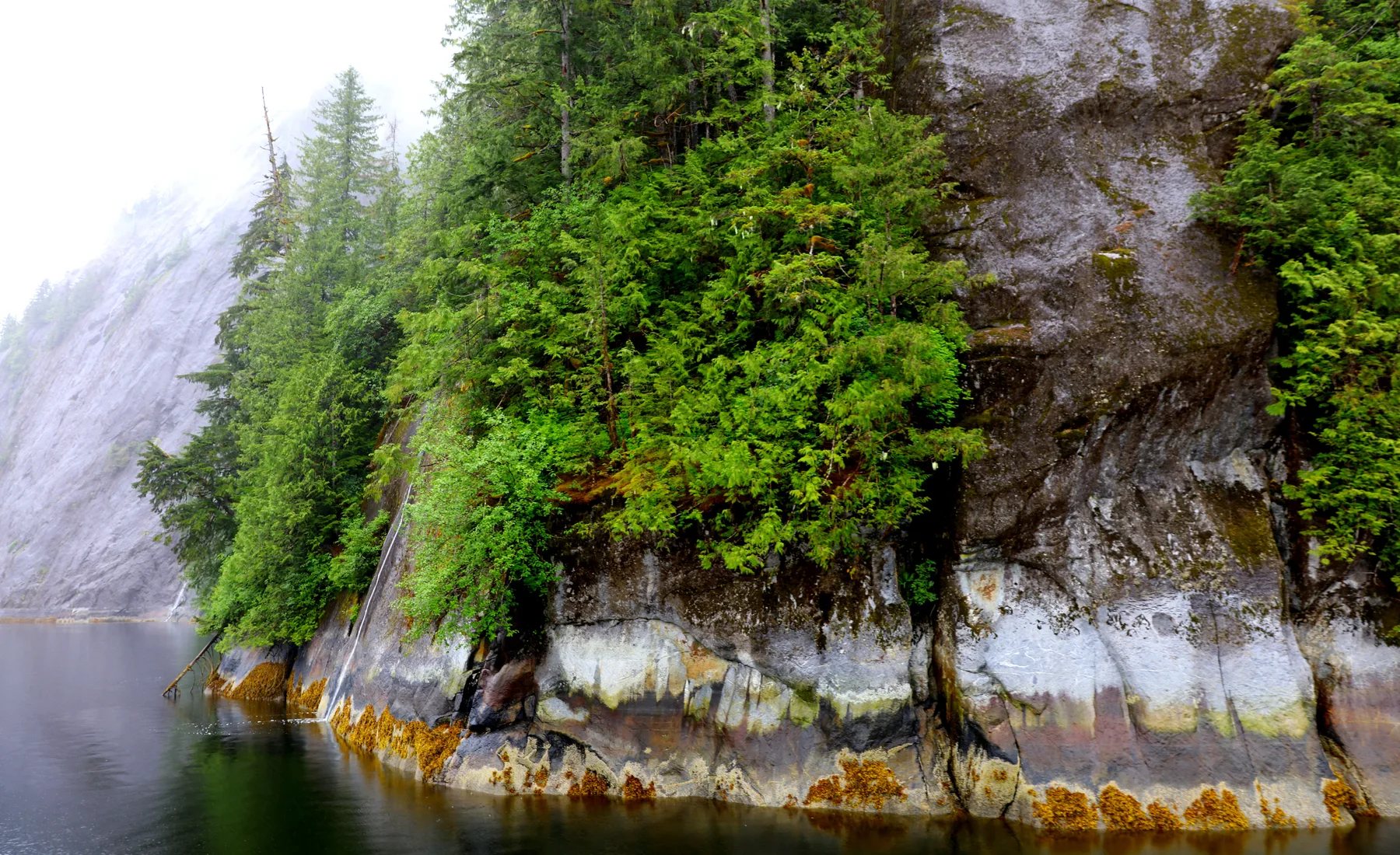
Practice close attention when distance disappears
Fog and low cloud can remove the large view while sharpening nearby color, sound, and texture. Shift the objective rather than treating the day as failed. The path of water on bark, the transition from open edge to canopy, and the sound difference between forest layers all remain available from an appropriate public route.
Leave less evidence of the visit
Use durable established surfaces where directed, carry out what you carry in, avoid collecting natural material, keep sound restrained, and never feed wildlife. If a route is closed or unclear, turn back. Local rules take precedence over generic advice.
| Setting | Primary check | Fallback |
|---|---|---|
| Town edge | Public access and surface | Shorten to a confirmed overlook |
| Road system | Current land-manager and transport information | Choose a closer signed route |
| Marine or flight access | Provider confirmation and conditions | Keep a complete town-day plan |
Carry the forest back into town
Rain patterns, wood construction, steep drainage, and views between buildings connect town and forest. That continuity is the point of the Rain Stair concept. Pair this guide with the rain-ready day or explore current provider inventory on Tours.