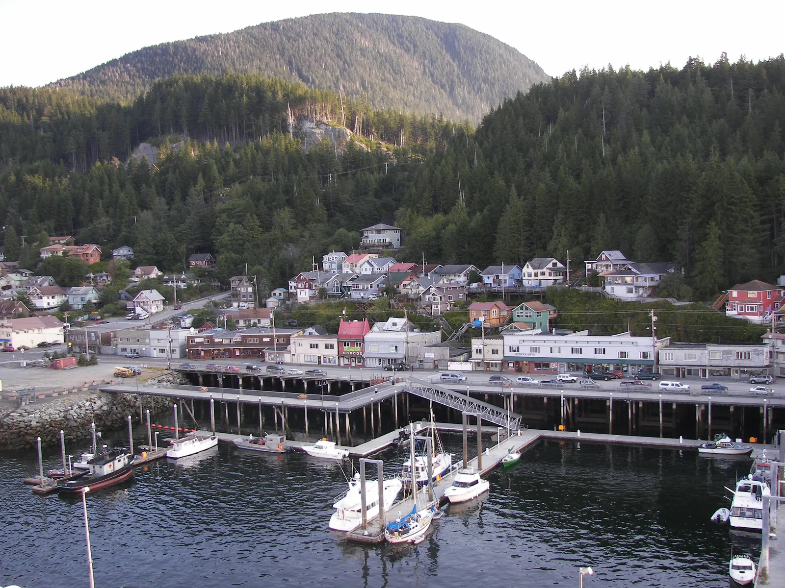
Ketchikan makes more sense when it is read vertically. Salt water sets the first line. Pilings and working docks hold the next one. Streets occupy a narrow shelf, stairs negotiate the slope, and the Tongass rainforest closes the distance above. A visitor who notices those levels can build a day that feels coherent even when rain changes the pace.
This guide is a framework, not a fixed itinerary. It avoids current schedules, prices, and availability because those details require confirmation with the responsible operator. Use it to decide what belongs together, where to leave a margin, and when a short route is richer than a rushed collection of stops.
Begin with the narrows
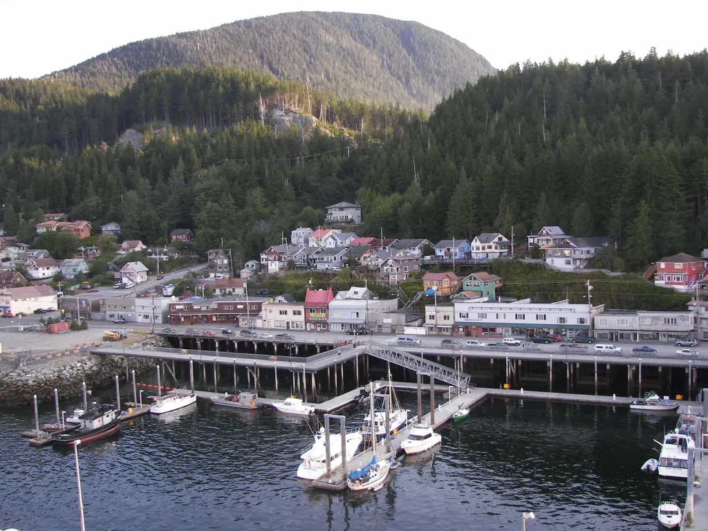
Tongass Narrows is not merely a backdrop. It is part of the transport system, a working marine corridor, and the reason the town reads as a long edge rather than a compact inland grid. Before walking toward a named attraction, stop where the water is visible and identify three things: the direction of boat movement, the location of working docks, and the point where buildings begin to climb.
The exercise establishes orientation without requiring a perfect map. Waterfront structures may look close in a straight line while the actual walking route bends around slips, roads, or elevation. A route that acknowledges those constraints is less likely to demand unnecessary backtracking.
Watch the working edge respectfully
A waterfront is also a workplace. Keep gates, ramps, loading zones, and equipment clear. Do not treat an active dock as an overlook unless public access is clearly marked. When a provider controls access, follow its instructions and confirm the current meeting point directly.
- Use signed public routes and durable surfaces.
- Leave room for people moving gear or doing time-sensitive work.
- Ask before photographing an identifiable person at work.
- Never infer that a vessel, ramp, or facility is open to visitors.
Move from water to street
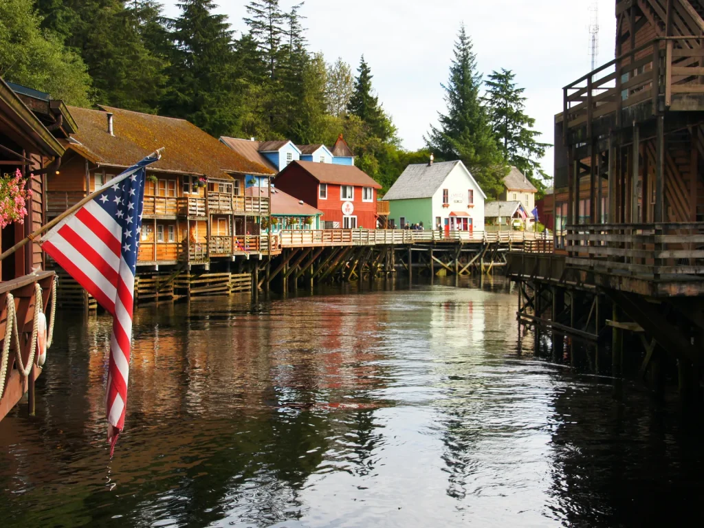
The transition to street level is where Ketchikan’s physical layers become legible. Buildings respond to wet ground, changing grade, and the need to stay close to water. Creek Street is one well-known expression of that relationship, but it should be approached as part of a wider urban pattern rather than an isolated photo stop.
Walk slowly enough to notice drainage, covered thresholds, boardwalk joins, retaining structures, and views that appear between buildings. These ordinary details explain how the town functions in a wet maritime climate. They also offer visual interest without requiring entry into a private business or crossing a barrier.
A simple street-reading sequence
- Choose one public edge. Begin where water and built structure are both visible.
- Follow a single street segment. Resist switching sides or directions for every view.
- Mark the change in grade. Notice when stairs, ramps, or retaining walls take over from level pavement.
- Look back once. The return view often explains the relation between dock, street, and slope better than the forward view.
- Pause under cover. Use the pause to check weather and decide whether the canopy layer still fits.
Let rain alter the rhythm, not erase the day
Rain is part of Ketchikan’s climate and visual character, but it should not be romanticized at the expense of comfort or safety. Wet surfaces can be slick, visibility can contract, and wind can make a waterside segment feel different from a protected street. The useful response is to build a route with multiple stopping points and a clear way to shorten it.
| What you observe | Useful adjustment | What to confirm |
|---|---|---|
| Steady rain, little wind | Keep a compact street route with covered pauses | Surface condition and indoor opening information |
| Wind at the waterfront | Shift inland or shorten exposed segments | Marine-provider instructions if booked |
| Low cloud over higher ground | Favor close forest and street detail over distant views | Trail and road access from official sources |
| Improving visibility | Hold one flexible window for a longer view | Transport timing and return margin |
Pack for movement rather than a staged photograph. A breathable rain shell, insulating layer, secure footwear with useful grip, and a dry place for a phone or paper notes solve more problems than an elaborate set of single-purpose items. Avoid cotton-only layers when prolonged damp is likely. Conditions and individual needs vary, so treat this as a planning prompt rather than technical gear advice.
Still comparing Sightseeing?
Ask for tour ideas, hotel suggestions, or a simple trip plan that combines both.
Trip Helper
Climb only as far as the route remains clear
The slope above the waterfront changes the town’s sound and scale quickly. Stairs and steeper streets can reveal the narrows between roofs, then pull attention toward moss, rock, and canopy. Elevation also adds accessibility and surface considerations. A beautiful stair is not automatically the right connection for every person or condition.
Before choosing a climb, check whether the return is obvious and whether a less steep public alternative exists. A route that works one way may be uncomfortable in reverse. If a signed closure, construction barrier, or private-property boundary interrupts the plan, turn back rather than improvising through an uncertain space.
Use a two-loop plan
- Inner loop
- Waterfront orientation
- One street or boardwalk segment
- An indoor or covered reset point
- Outer loop
- A higher street, forest edge, or confirmed trail
- A longer viewpoint or water connection
- A return leg with a generous transfer margin
The inner loop makes the day worthwhile by itself. The outer loop becomes an option rather than an obligation. That distinction matters when weather, mobility, crowds, or transport timing changes.
Approach the Tongass as habitat, not scenery stock
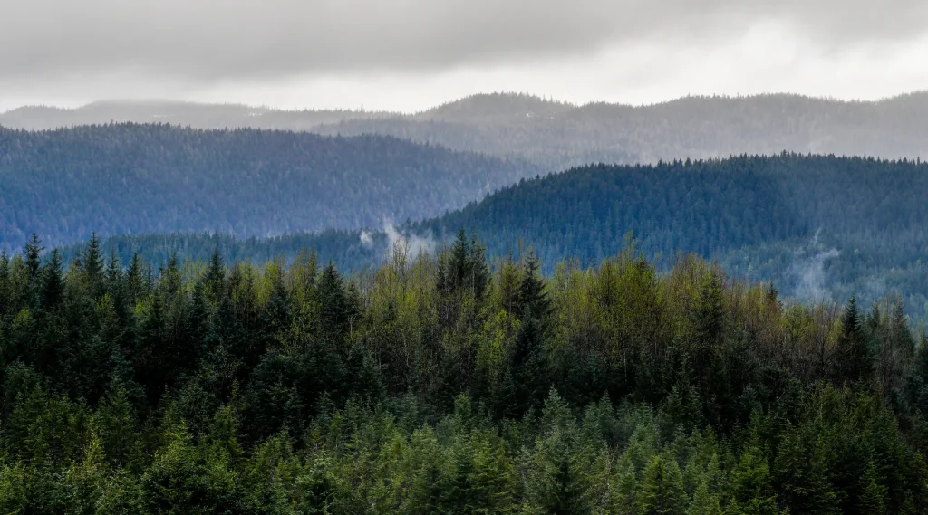
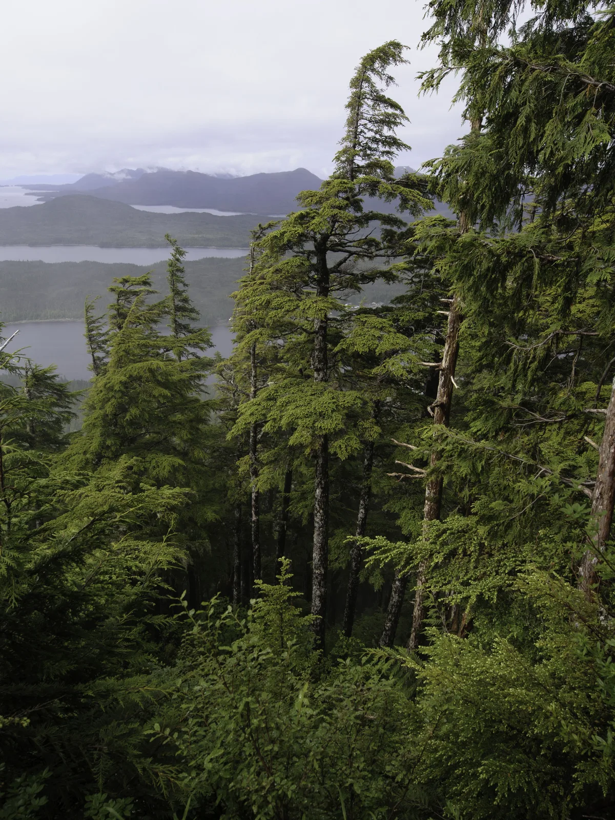
Ketchikan sits within the Tongass National Forest, a vast temperate rainforest environment. Even a short forest encounter can reveal the layered relationship among canopy, understory, decaying wood, water, and soil. The most responsible visit stays on established surfaces where required, follows current land-manager guidance, and avoids removing or rearranging natural material.
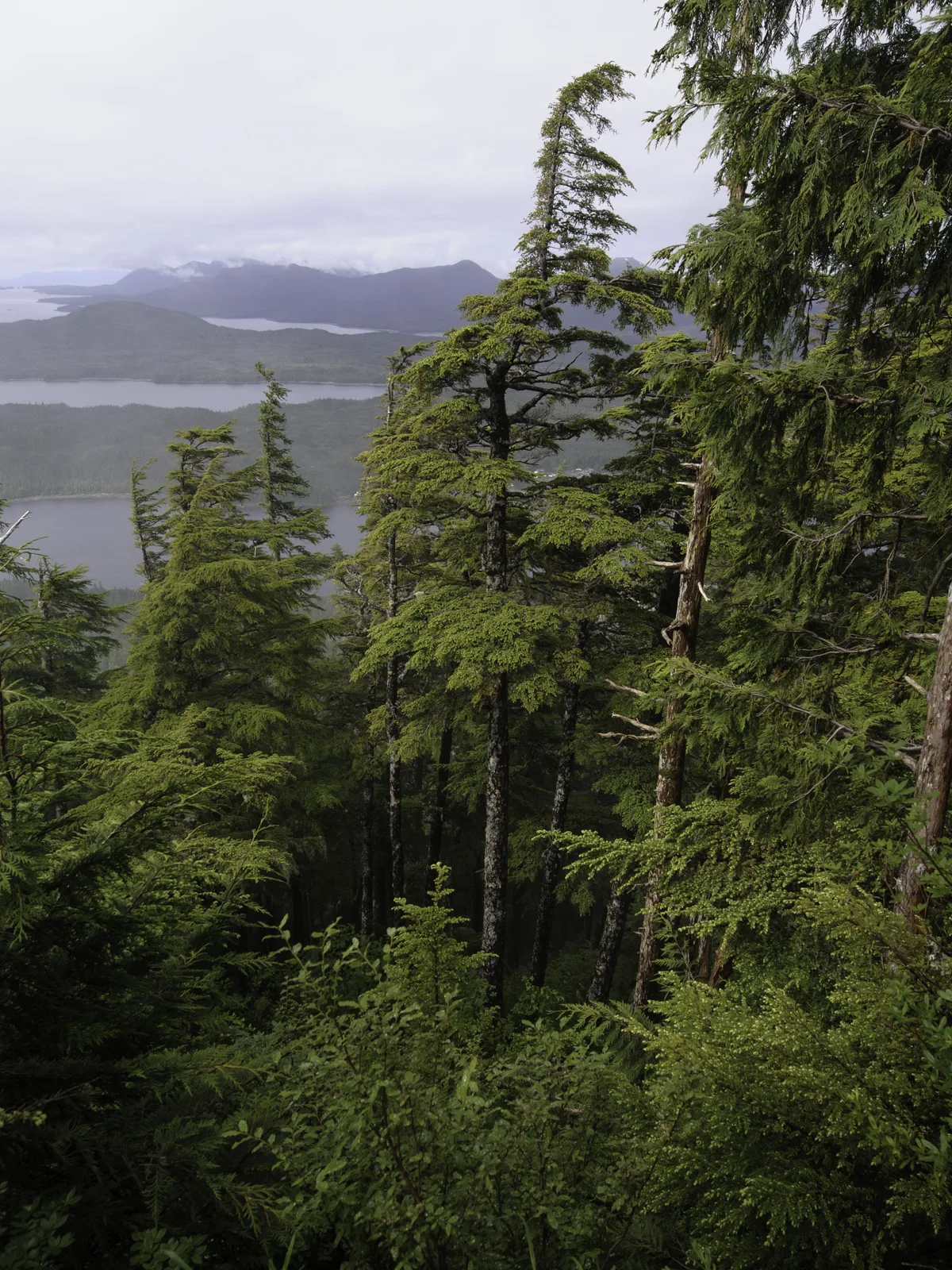
Wildlife needs space. Never approach, feed, surround, or block an animal for a photograph. Food storage, bear-awareness, pet rules, and seasonal restrictions are location-specific; consult the relevant land manager before setting out. If a local guide provides stricter instructions, follow them.
A nested observation practice
- Start with the widest layer: canopy height, light, and slope.
- Move to the middle layer:
- Look for the path of water.
- Notice how fallen wood supports new growth.
- Listen before moving closer to a sound.
- Finish with one small detail, such as a leaf edge or pattern of rain on bark, without touching or collecting it.
Keep culture in context
Ketchikan is within the traditional homelands of Indigenous peoples, and Alaska Native cultures are living, contemporary, and diverse. Visitors should seek interpretation from community-led cultural institutions, artists, educators, and official sources. A carved object, design language, clan crest, regalia, or story is not generic destination decoration and should not be copied or detached from its cultural authority.
That principle changes how an independent guide should work. It can direct readers toward credited learning, explain why context matters, and avoid flattening distinct peoples into a single aesthetic. It should not claim cultural authority it does not hold. Confirm current visitor information directly with the institution you plan to visit.
Decide whether the fjords belong in this day
Misty Fjords National Monument is a different scale of experience from a town walk. Access commonly involves an authorized marine or flight provider, and conditions can affect operations. Do not bolt it onto a street route as if it were a nearby neighborhood. Give it its own decision window, provider confirmation, and return margin.
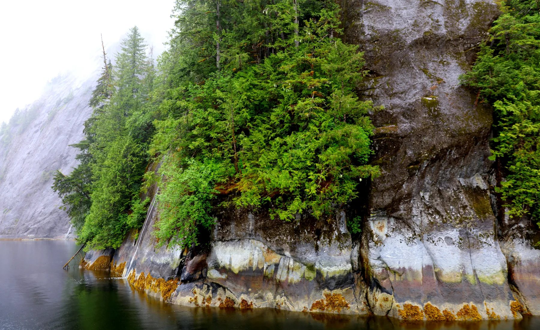
If the fjords are not practical, that does not make the day incomplete. A close reading of the narrows, town, slope, and forest expresses the same larger relationship at a human scale. Use the Rainforest & Fjords section to compare approaches without invented availability.
Build the return before extending the route
Many travel plans account for the exciting outbound leg and treat the return as a leftover. In Ketchikan, a boat connection, road distance, rain, or congested transfer point can make that assumption costly. Decide the final reliable return point before adding another stop.
Keep provider contact information and meeting instructions available offline. If an excursion is booked, follow the exact confirmation rather than a third-party summary. This site does not process cancellations or modify reservations.
A sample framework, not a timetable
The table below shows how layers can be combined. It intentionally omits hours and durations because transport, access, weather, mobility, and interest change the right pace.
| Layer | Primary purpose | Shortening option |
|---|---|---|
| Tide | Orient to Tongass Narrows and working access | Use one public viewpoint |
| Street | Read waterfront form and daily town life | Choose one continuous block or boardwalk |
| Slope | Understand elevation and town geometry | Look uphill without taking a stair route |
| Canopy | Observe temperate rainforest layers | Use a confirmed forest edge or interpretive stop |
| Return | Protect the transfer and close the loop | Drop the optional outer segment first |
Leave with a mental section, not a score
The strongest outcome is not a count of attractions. It is the ability to picture Ketchikan in section: narrows, pilings, street, stair, forest. That mental model helps a visitor navigate, notice ordinary details, and make better decisions when conditions change.
Plan for different bodies and paces
A geography-first route should make its demands visible. Grade, stair count, surface width, curb transitions, places to sit, shelter, and distance from a reliable return all affect whether a segment works. Do not use an attractive photograph as evidence that a route is step-free, quiet, level, or suitable for a particular mobility device.
When a group has mixed needs, identify the shared anchor before people separate. Agree on a real meeting place, a communication plan that does not depend on perfect reception, and a fixed time derived from confirmed transport. A shorter common loop can carry more meaning than a longer route that leaves someone managing uncertainty alone.
- Ask a venue or provider for current, specific accessibility information.
- Describe the device or assistance needed rather than relying on a broad label.
- Confirm whether the accessible entrance and ordinary public entrance are in the same location.
- Keep medication and essential support items with the person who needs them.
Use photographs to remember relationships
Photographs can reinforce the mental section if each frame has a job. Make one image that shows water and town together, one that explains a street or stair connection, and one that records close forest structure. This produces a more truthful sequence than repeating the same scenic subject from small variations in angle.
Keep people, working operations, wildlife, and culturally significant material within ethical boundaries. Ask permission when a person is identifiable and central to the frame. Obey posted photography restrictions. Never move an object, cross a boundary, or pressure wildlife to produce a cleaner composition.
Check the sources that own the decision
An independent guide can explain relationships, but it does not own trail status, weather warnings, carrier deadlines, public-land rules, or a provider’s operation. Before departure, check the responsible agency or company for every decision that could materially affect safety, access, cost, or return timing.
- List the decisions that could end or reshape the route.
- Write the responsible source beside each decision.
- Save critical confirmations where they remain available offline.
- Recheck the most time-sensitive item close to departure.
Continue with A Rain-Ready Day in Ketchikan for a weather-flexible structure, or use Where to Stay to choose a base by the route you expect to repeat. For bookable inventory, check the provider-controlled Tours page and verify every material detail before purchase.